About this walk
The walk described below starts at Golden Valley, near Codnor, and finishes at Nuncargate, just outside Kirby in Ashfield. However, the start and finish points are interchangeable and you can easily get there by a variety of local buses.
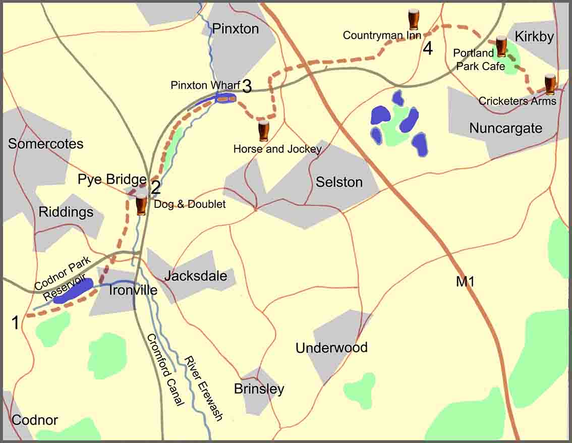
The overall route covers just over eight miles of relatively easy walking with some moderate hills and some flat ground following sections of the old Pinxton Arm of the Cromford Canal and the River Erewash. There are five pubs featured en route, fairly evenly spaced; so, at just over eight miles, it’s a comfortable four-pint walk, allowing you to arrive home calorie neutral and none the worse for wear. The pubs are: the Dog and Doublet at Pye Hill; the Horse and Jockey at Selston; the Countryman Inn at Bentinck; the Café and Micropub at Portland Park; and the Cricketers Arms at Nuncargate.
As well as the good ale, there are also along the way a number of points of historical interest. These include: the Codnor Park Reservoir, the Pinxton Arm of the Cromford Canal, Pinxton Wharf, Portland Park, and the Cricketers Arms and the association with the famous cricketer Harold Larwood. Some background information about these points of interest, and relevant images, are featured in the route description below.
Route description
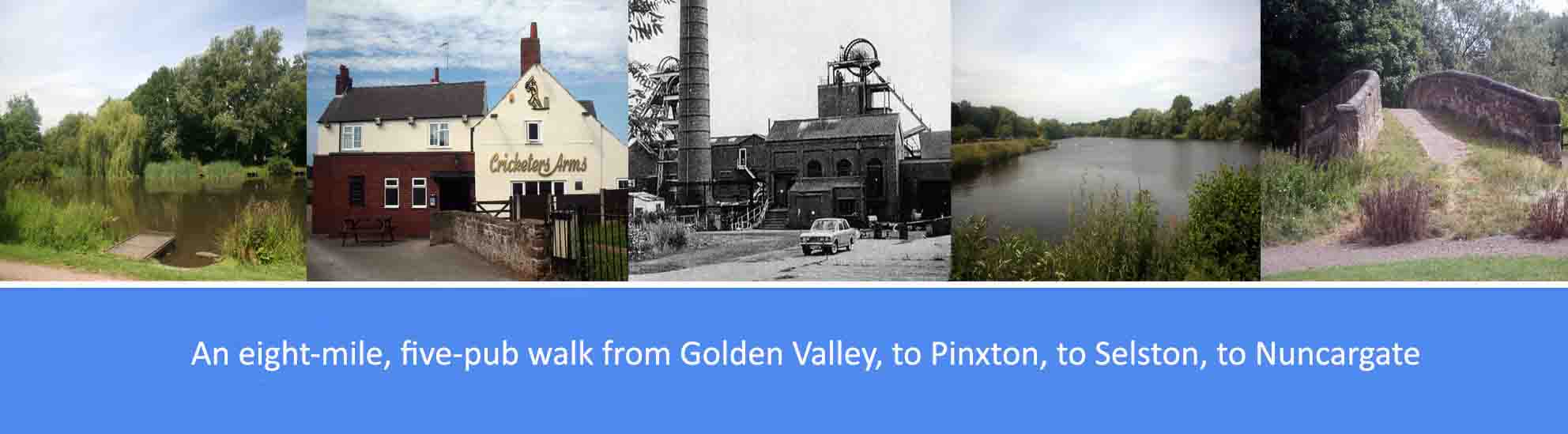
1. From Golden Valley, directly opposite the now derelict Newlands Inn, take the footpath signposted to Pinxton and walk along the Cromford Canal towards Ironville. After about for hundred yards, cross over the footbridge and continue walking with the canal on your right and Codnor Park reservoir on your left. Cross over a second footbridge and continue walking to the end of the reservoir where you will see an old humpbacked stone bridge which marks the point where the Pinxton Arm branched from the main Cromford Canal. Immediately before the bridge, bear left to follow the route of the now defunct Pinxton Arm. About a hundred yards along the footpath, bear right and walk towards Ironville Church and then past the village of Ironville on your right. From Ironville, continue along the route of the canal, walking first under a road bridge and then under a railway bridge. About a hundred yards after the main line railway bridge, cross over Nottingham Lane to continue along the canal route. Half a mile further on, you will come to the village of Pye Bridge with the Dog and Doublet just along the road.
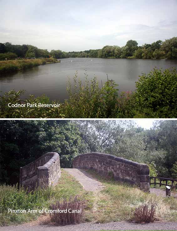
The Pinxton Arm of the Cromford Canal began at Codnor Park and terminated at a wharf at Pinxton, a distance of some three miles. Opened by 1799, the canal primarily carried coal and iron ore from the many nearby collieries and also pottery from the Pinxton Porcelain factory. The original plan was to continue the branch to Mansfield but this would have required a number of locks to raise the canal to the Kirkby Summit, making the project uneconomical. As well as the wharf at Pinxton, there were several other wharves including one at Pye Bridge. Ironville was built between 1834 and 1860, by the Butterley Company, as a model village providing workers’ homes, a church, a school and other public services including its own gas and water works, a Mechanics’ Institute containing “an artisans’ library”and swimming baths. The Codnor Park reservoir, built to provide water for the Cromford Canal, was also constructed by the Butterley Company.
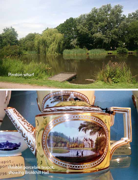
Until the arrival of a branch of the Cromford Canal in the 1790s, Pinxton had been a tiny agricultural settlement. Within a decade or so of the canal’s arrival, there sprang up, close to the wharf, several deep coal mines, four lime kilns and a china works, and from 1801 to 1831 the population of Pinxton doubled. John Coke built the china factory and, with William Billingsley the famous painter from Derby, produced the much sought after Pinxton Porcelain. The early 19th century saw the building of a railway line from Pinxton Wharf to Mansfield which was originally horse-drawn until 1849 when it became linked to the Erewash valley railway. John King, who lived in Pinxton, invented the mine cage safety detaching hook which became world famous, and his old workshop was converted into a small commemorative museum. A Memorial to John King stands opposite the Greyhound Inn in the village, and one of the sites of the Pinxton Infant School is named after him.
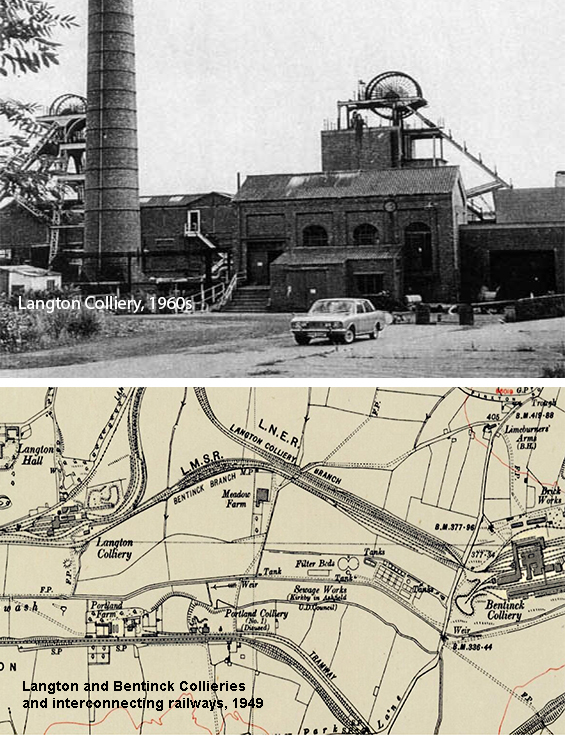
Like most of the Erewash Valley, this small area from Pinxton Wharf to Bentinck was one a hive of heavy industry in the previous century. A section of the 1949 Ordnance Survey map seen opposite, shows within a distance of just one and a half miles, the Brookhill, Langton and Bentinck deep coal mines serviced by a complex network of mineral railway lines. Most of the area has now been returned to farmland though the old Brookhill colliery is now the site of the industrial estate not far from the Railway Inn, and some of the old mineral railway lines and their bridges can still be seen on the walk up to the Countryman Inn and further on towards Portland park.
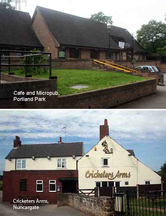
Most of the lands that now make up Portland Park were given to the local council in 1914 by William Cavendish-Bentinck, the 6th Duke of Portland, to mark his 25th wedding anniversary and the 21st birthday of his son, William Arthur Henry Cavendish-Bentinck, Lord Titchfield. The Council at the time developed ‘Portland Park’ as a formal recreational area for local people including tennis, swings, family walks and picnics, and listening to concerts in the bandstand, now gone. Other features included formal gardens, paddling pools and a bowling green and a rifle range. The ponds and concrete bridges are the only significant remaining features of the formal pleasure grounds. After the Second World War the park’s original facilities went into decline and most were eventually removed. However, following designation of the park as a Site of Special Scientific Interest in 1974, the park was transformed over time into the informal country park of today. The sports field adjoining The Cricketers Arms in Nuncargate, was where Harold Larwood first played cricket as a youngster. Larwood is associated with the controversial ‘bodyline’ technique of fast bowling which resulted in several Australian batsmen being injured and led to diplomatic tensions between the British and Australian governments. Memorabilia from Larwood’s career, including the infamous ‘Bodyline’ tour of Australia in 1932-33, adorn the walls of the pub.